BOATERS BLOG
Navigating the Open Waters: A Comprehensive Guide to Maps, GPS, and More
By NBOA •October 18, 2023
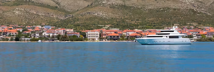
Your bags are packed, the boat is equipped with essentials, and you have a route in mind. It sounds like you’re ready for an exciting voyage! Before you set sail, it’s crucial that you understand and feel comfortable navigating utilizing both traditional and modern tools. From maps and cartography to GPS systems and anchors, whether you’re a seasoned sailor or a beginner, the boating experts at NBOA are diving into some essential tools and skills required for effective navigation.
The Importance of Maps and Cartography

Before technology invaded every corner of our lives, traditional nautical charts and maps were the go-to navigation tools. Even in this digital age, these charts remain invaluable. They offer detailed information about water depths, shorelines, and potential hazards like underwater rocks or shipwrecks.
Learning to read a nautical chart might seem daunting at first, but it’s a necessary skill for any boater. Understanding terms like “buoys,” “soundings,” and “navigation aids” is essential. Maps give you a broad overview of your location and route, and they don’t require a power source, making them reliable in any situation.
Pro Tip: You’ll usually find a scale in one corner of the map that helps you understand distances. This is super handy for planning your route and estimating travel time. Some maps might use nautical miles, while others might use kilometers or miles. Make sure you’re comfortable converting between each measurement system so you can properly navigate.
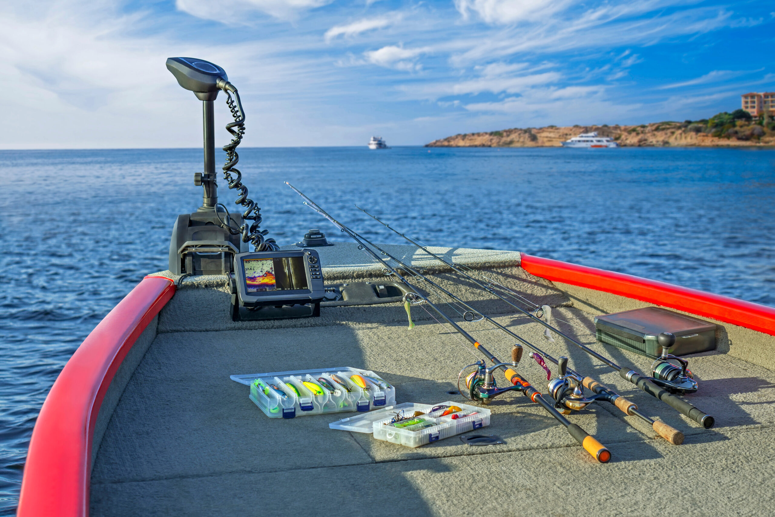
The Convenience of GPS Systems

Switching gears to modern technology, GPS (Global Positioning System) has become a staple for navigation on water as much as on land. Plug in your destination, and the system will calculate the most efficient route, adjusting for obstacles and other considerations as needed.
Don’t worry too much about losing the signal. Many GPS systems designed for boating are robust enough to maintain your position even in less-than-ideal conditions. They provide real-time data, are generally user-friendly, and can offer a lifeline in unfamiliar waters.
Pro Tip: Many modern GPS systems allow you to customize the data displayed on your screen. Tailor it to show the info you find most useful, like depth, speed, or distance to the next waypoint, to make navigation a breeze.
Embracing GPS Anchors
You might have heard of the nifty feature called a GPS anchor, sometimes referred to as an “electronic anchor” or “virtual anchor.” This modern tool allows your boat to stay in a fixed position without dropping a physical anchor. Think of it as your boat being glued to an invisible spot on the water. Always ensure you have a strong satellite connection before activating this feature.
The GPS anchor is especially useful for fishing, snorkeling, or any activity where you want to remain stationary for a while but don’t want the hassle of using a traditional anchor. It’s crucial to keep in mind that this tool is not a total replacement for your trusty old-school anchor. It’s a smart idea to also have a physical anchor as a backup. Let’s be honest: technology isn’t foolproof.
Pro Tip: Different GPS anchors come with various features. Some allow you to set a “radius” around a point, while others might offer drift alarms. Familiarize yourself with your specific model’s capabilities so you can use it to its full potential. Continuously monitor how well it’s holding your position and make any necessary adjustments to your settings.
Combining Traditional and Modern Tools

There’s no reason to choose between old and new when you can have the best of both worlds. Utilizing both a traditional map and a GPS system offers a secure and comprehensive approach to navigation. While GPS can give you real-time updates, the map provides a broader context, ensuring you’re fully aware of your surroundings and what lies ahead. It’s also excellent practice to periodically turn off your electronic tools and try navigating the old-fashioned way. You’ll become a more skilled and versatile navigator, ready for whatever blows your way.
Pro Tip: When you reach a waypoint on your GPS, confirm it using traditional methods like triangulation with landmarks or a chart compass on a paper map. This will give you confidence that your GPS is accurate.
Preparing for Your Journey

Before embarking on your boating adventure, it’s equally important to know local boating laws, check weather forecasts, and know the tidal information for your location and route. Proper preparation is just as vital as having the right navigation tools at your disposal. Being well-prepared can be the difference between a smooth sailing journey and a rough one.
Pro Tip: Planning isn’t just about choosing your path—it’s about understanding the challenges and conditions you might face along the way. The more prepared you are before you leave, the better you can adapt to surprises once you’re out on the water. You’ll be confident, safer, and free to soak in the journey that awaits you.
Understanding how to navigate effectively is crucial for anyone planning to spend time on the water. Whether you’re more comfortable with traditional maps or prefer the convenience of modern technology, both have their advantages and limitations. A smart approach is to utilize both, complemented by thorough pre-trip preparation and a solid insurance plan from NBOA. With the right tools, knowledge, support, and coverage, you’ll be ready to enjoy your time on the water with peace of mind.